San Juan and Gulf Islands Planning Map (Folded)
SKU:
FEC6050
$15.95
$15.95
per item
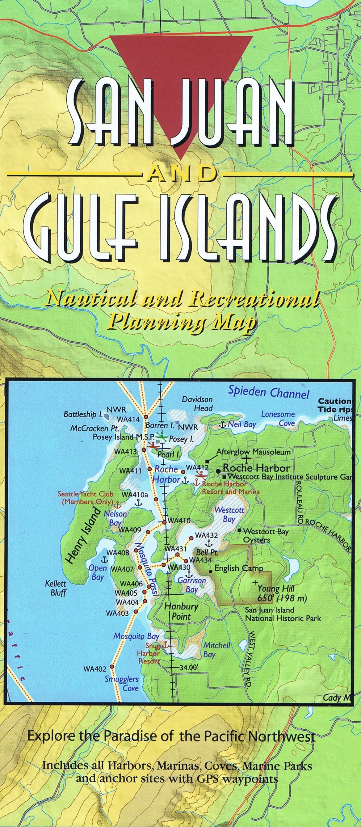
San Juan and Gulf Islands Planning Map (Folded)
Boating and exploring one of the most popular cruising areas in the world is easy with this colorful planning map of the San Juan and Gulf Islands. All harbors, coves, anchorages, and Cascade Marine Trail sites for kayaks or canoes are noted, as well as public and Provincial parks. The map includes GPS Waypoints and all major harbors and coves.
The 2-sided map is 36 inches wide by 24 inches high and folds to 4 inches wide by 9 inches high and is printed on waterproof paper for convenient use on a boat or carrying in a backpack.
The map is a perfect compliment to the best selling “Exploring the San Juan & Gulf Islands” cruising guide.