Evergreen Placemat Seattle, Bremerton and Hood Canal 4.2
SKU:
EVG42
$5.99
$5.99
per item
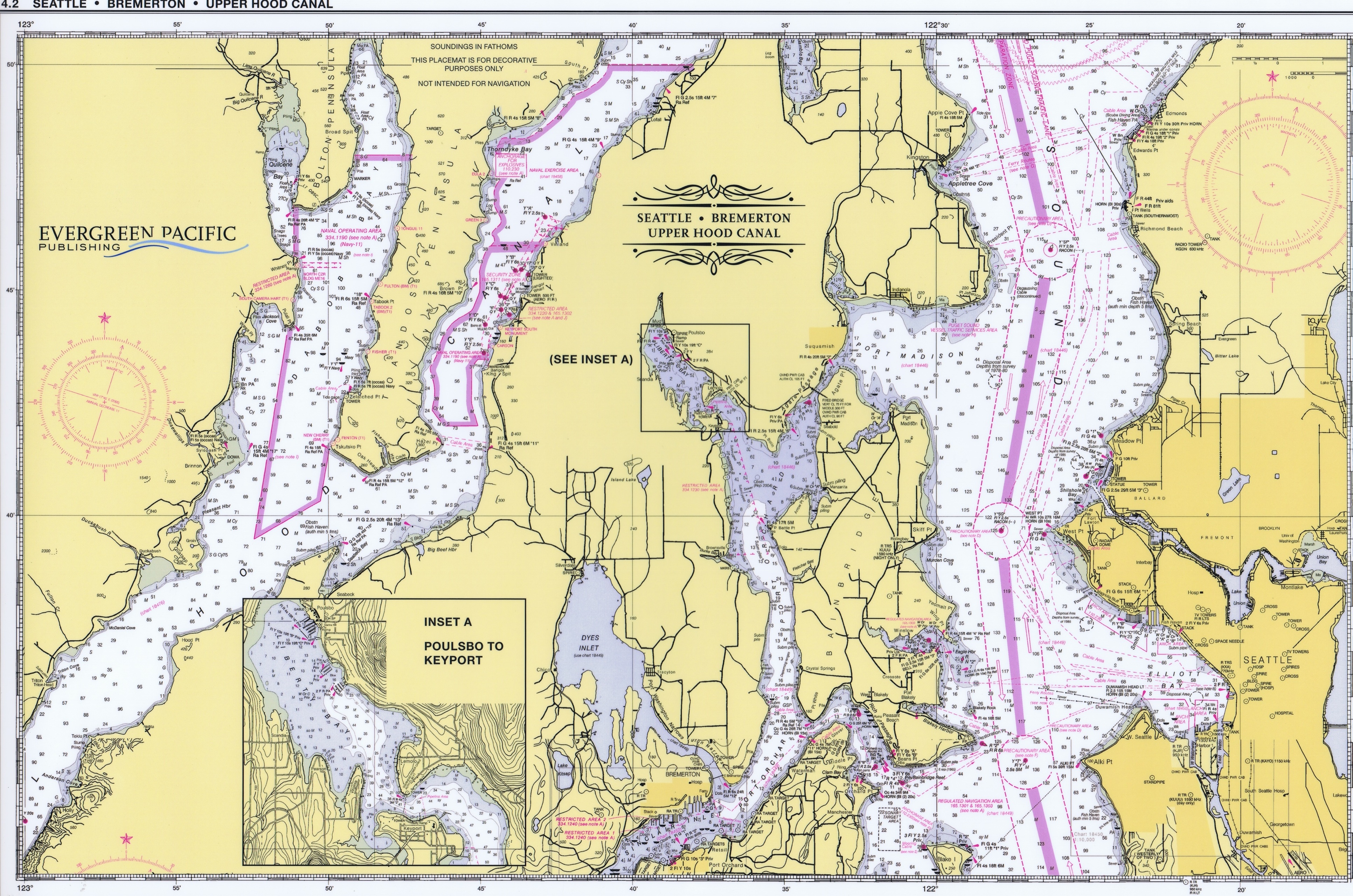
Evergreen Placemat Seattle, Bremerton and Hood Canal 4.2
This attractive, water proof nautical placemat covers Port Orchard & Blake Island north to Edmonds (including the northern portion of Hood Canal—Eldon & north) on the front side, and contains a detailed chart of Dyes & Sinclair Inlets, Port Washington Narrows, Rich Passage, and Elliott Bay on the Reverse side.
11 1/4" x 17 1/2", full color, printed two sides
Only 1 left!