
|
the Lastest Edition of
|
Whats new?
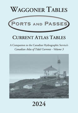
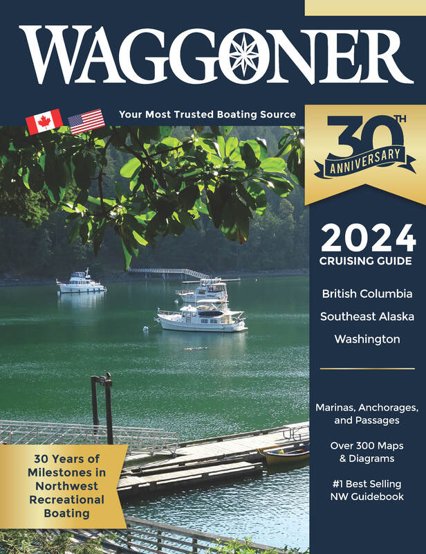
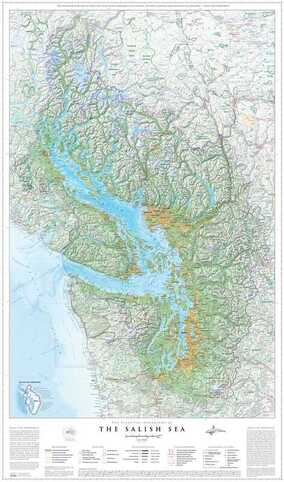
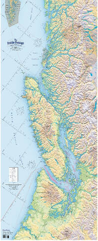
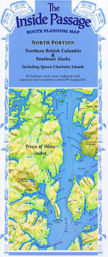
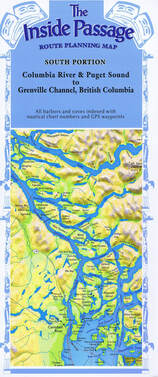
Waggoner routinely receives messages from enthusiastic boaters that tell us; “we so much appreciate the Waggoner maps and dock diagrams that help us plan our trip and allow us to easily find our assigned moorage slip.” There are now over 300 maps/diagrams in the Waggoner Guide. Maps have been updated to reflect new dock configurations and dock numbering that have taken place at a number of marinas. New anchorages have been added, a list of bear-viewing sites, and a special winery destination with dock access that you won’t want to miss. If you are planning to visit Glacier Bay National Park, it’s important to read about the changes and procedures for visitation described in the Waggoner. In Chapter 1, the Compendium, you will find all the important changes regarding U.S. and Canadian Customs Points of Entry, the latest on NOAA and CHS Charts, and updated information about cellular, satellite, and internet services. Readability of the Waggoner has been enhanced with shaded header titles for major water areas to provide helpful geographic context. These are just some of the many changes and updates you will find in the 30th Anniversary 2024 edition of the Waggoner Cruising Guide. For a more detailed list of What’s New in this edition click on the button on the side
|
| ||

how can we help?

We're here to help so give us a call, send us an email, or stop by the store in Anacortes, WA.

360-299-8500
|

|

910 B 25th St
|
Welcome to Waggoner Guide Books and FineEdge.com publishing.
Publishers of the Waggoner Cruising Guide,
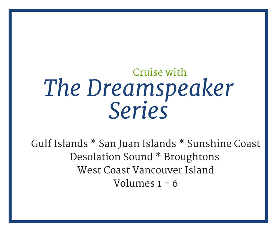
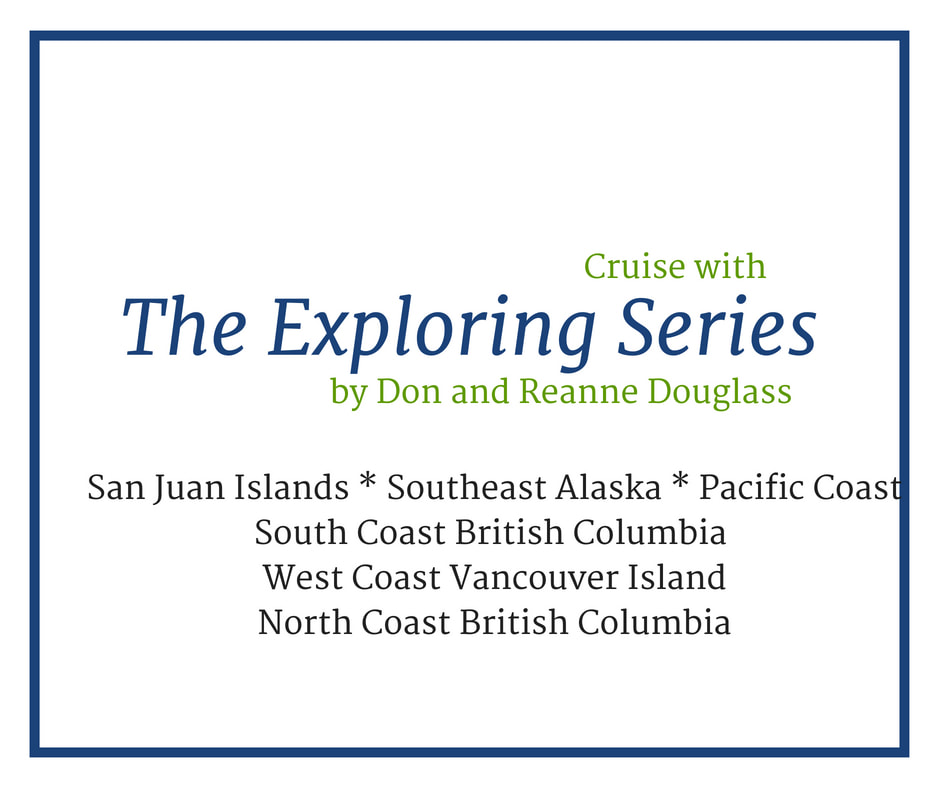
the Exploring series by Don and Reanne Douglass, the Dreamspeaker series and more.
You will find what you need to cruise the Pacific Northwest.
Publishers of the Waggoner Cruising Guide,
the Exploring series by Don and Reanne Douglass, the Dreamspeaker series and more.
You will find what you need to cruise the Pacific Northwest.