Broughton Islands and Mainland Inlets Topographic Planning Map & Distance Tables
Ports and Passes Broughton Islands and Mainland Inlets Topographic Planning Map & Distance Tables
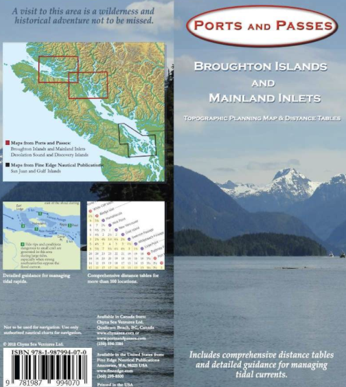
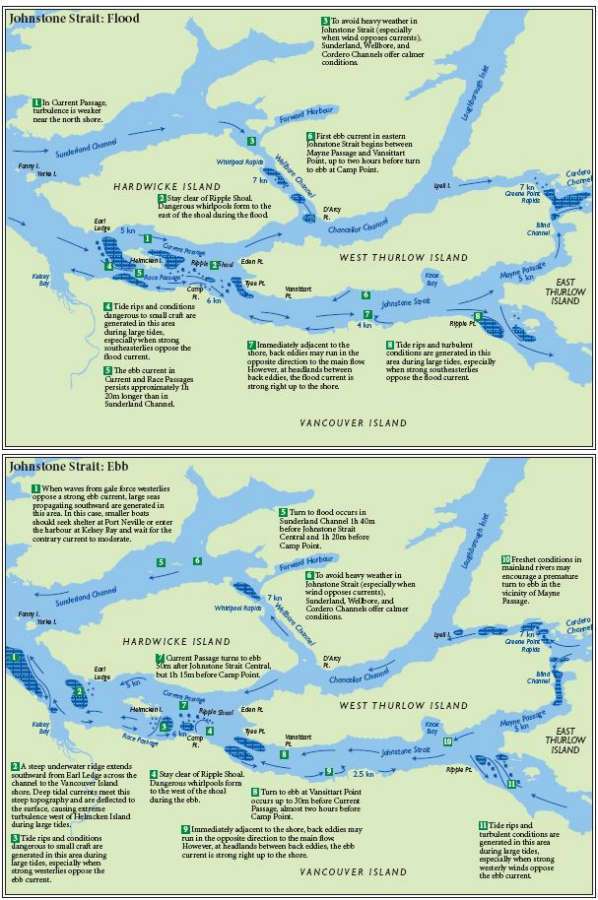
Another new creation from Kevin Monahan, author of The Radar Book and Local Knowledge—A Skipper’s Reference. He has developed two new maps for cruising boaters, kayakers, and sportsman. On the front face of the map is a detailed topographic planning map and on the back, are extensive distance tables and valuable local knowledge of the tides and currents for these regions. These maps are a valuable resource when cruising these challenging and beautiful areas. The Broughtons and Desolation Sound are two of the most popular cruising places in the Pacific Northwest. With these new maps, you can cruise these areas while taking advantage of the expert local knowledge. Published by Chyna Sea Ventures.
9781987994070